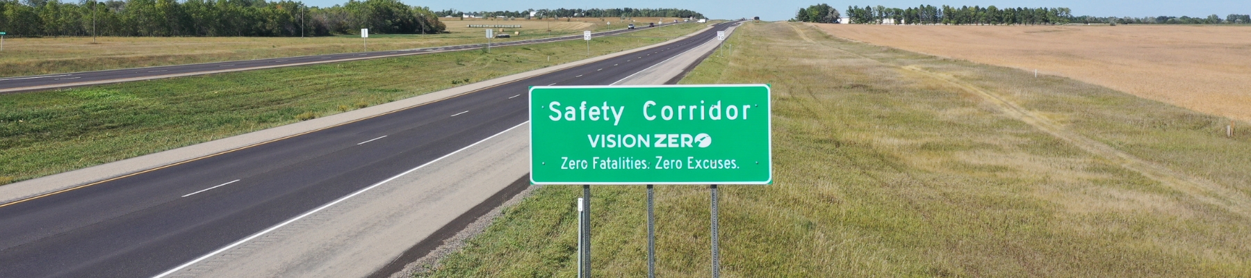
Highway safety corridors are a vital Vision Zero strategy utilized on specific stretches of highway with a higher risk of severe crashes. Introduced by the NDDOT in 2019, these corridors combine roadway improvements, increased visibility and focused enforcement to reduce traffic deaths and injuries.
A safety corridor is a designated section of highway where multiple safety strategies are implemented simultaneously to address known risks. These corridors utilize a Safe System Approach, integrating four key areas:
- Engineering: Enhanced road design and safety features.
- Enforcement: Increased law enforcement visibility and presence.
- Education: Public reminders to drive sober, buckle up and avoid distractions.
- Emergency Response: Improved readiness and coordination for post-crash care.
The primary goal is to reduce dangerous driving behaviors and prevent serious crashes before they happen.
When traveling through a designated safety corridor in North Dakota, motorists may observe several safety enhancements designed to improve awareness:
- Additional signage and safety reminders.
- Reduced speed limits or restricted no-passing zones.
- Enhanced pavement markings for better visibility.
- Increased presence of law enforcement.
Locations are selected based on rigorous crash data and roadway risk factors.
ND 57/20: From West of Fort Totten to Devils Lake (17 miles)
ND 22: From ND 73 to ND 23 (15 miles)
US 85: From Watford City to ND 68 (14 miles)
US 52: From Brooks Junction to Velva (35 miles)
US 85: From Belfield to Watford City (70 miles)